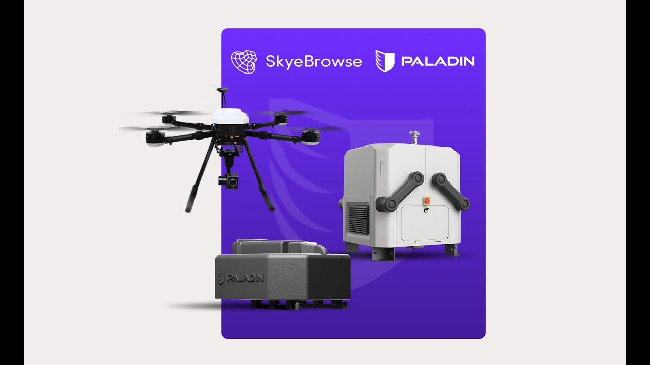
In a major tech upgrade for emergency response teams, SkyeBrowse and Paladin have partnered to bring real-time 3D modeling to Drone as First Responder (DFR) programs — eliminating delays and giving first responders eyes on the scene before they arrive.
SkyeBrowse’s rapid 3D modeling software has long helped agencies turn drone video into accurate 3D maps in minutes. But there was a catch: someone had to manually pull the drone’s SD card and upload the footage. Not ideal when time is everything.
That’s where Paladin steps in. Known for its DFR platform, Paladin now integrates directly with SkyeBrowse’s cloud. Together, they’ve automated the entire process — drone footage is sent and processed in near real-time, delivering detailed 3D models straight into the hands of command teams while responders are still en route.
“By eliminating the data transfer bottleneck, we are moving from rapid modeling to real-time modeling,” says Bobby Ouyang, CEO of SkyeBrowse. “This is the future of DFR.”
This integration is a game-changer. Agencies no longer need to wait for post-scene analysis. With 3D visuals delivered on the fly, they can make smarter decisions faster, improve safety, and better allocate resources — before anyone even steps out of a vehicle.
“Giving agencies the ability to visualize and analyze a scene in 3D before arrival fundamentally changes the dynamic of emergency response,” says Divy Shrivastava, Paladin’s CEO.
And yes, it’s all done on a secure, CJIS-compliant and FedRAMP cloud system, ensuring data integrity and chain of custody are maintained. Agencies further benefit from SkyeBrowse’s full suite of analysis tools on the generated models, including measurements, annotations, and tactical overlays, all accessible remotely.
Bottom line: This SkyeBrowse-Paladin mashup is redefining what “rapid response” really means — giving public safety agencies a futuristic edge, today.
More: 10 reasons Insta360 X5 might be the coolest camera ever made
FTC: We use income earning auto affiliate links. More.


Comments